Fields near Craigantlet
Introduction
The photograph on this page of Fields near Craigantlet by Rossographer as part of the Geograph project.
The Geograph project started in 2005 with the aim of publishing, organising and preserving representative images for every square kilometre of Great Britain, Ireland and the Isle of Man.

There are currently over 7.5m images from over 14,400 individuals and you can help contribute to the project by visiting https://www.geograph.org.uk
Fields near Craigantlet
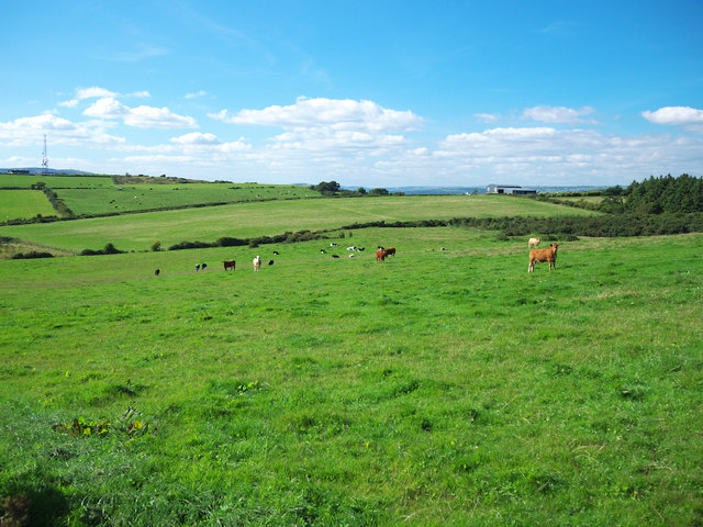
Image: © Rossographer Taken: 30 Aug 2010
Fields between Craigantlet and Ballykeel - this is the view towards Standard Hill off the Church Road (marked by the transmitter on the left).
Images are licensed for reuse under creativecommons.org/licenses/by-sa/2.0
Image Location
Latitude
54.622772
Longitude
-5.794065