Hangman's Toll Bridge and drain
Introduction
The photograph on this page of Hangman's Toll Bridge and drain by David Anstiss as part of the Geograph project.
The Geograph project started in 2005 with the aim of publishing, organising and preserving representative images for every square kilometre of Great Britain, Ireland and the Isle of Man.

There are currently over 7.5m images from over 14,400 individuals and you can help contribute to the project by visiting https://www.geograph.org.uk
Hangman's Toll Bridge and drain
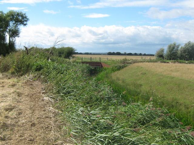
Image: © David Anstiss Taken: 29 Aug 2010
This drain links between the Brenzett Sewer and Abbatridge Sewer, named drains in the Romney Marshes. The road bridge carries a lane from Brenzett (to the left) towards Snave and the A2070.
Images are licensed for reuse under creativecommons.org/licenses/by-sa/2.0
Image Location


Leaflet Map data © OpenStreetMap
Latitude
51.026307
Longitude
0.868179