Brenzett Old School
Introduction
The photograph on this page of Brenzett Old School by David Anstiss as part of the Geograph project.
The Geograph project started in 2005 with the aim of publishing, organising and preserving representative images for every square kilometre of Great Britain, Ireland and the Isle of Man.

There are currently over 7.5m images from over 14,400 individuals and you can help contribute to the project by visiting https://www.geograph.org.uk
Brenzett Old School
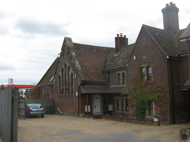
Image: © David Anstiss Taken: 29 Aug 2010
On the B2080 Rhee Wall, beside the Brenzett Roundabout. Now converted into several houses.
Images are licensed for reuse under creativecommons.org/licenses/by-sa/2.0
Image Location
Latitude
51.007149
Longitude
0.85716