Willcock's Farm
Introduction
The photograph on this page of Willcock's Farm by Simon Carey as part of the Geograph project.
The Geograph project started in 2005 with the aim of publishing, organising and preserving representative images for every square kilometre of Great Britain, Ireland and the Isle of Man.

There are currently over 7.5m images from over 14,400 individuals and you can help contribute to the project by visiting https://www.geograph.org.uk
Willcock's Farm
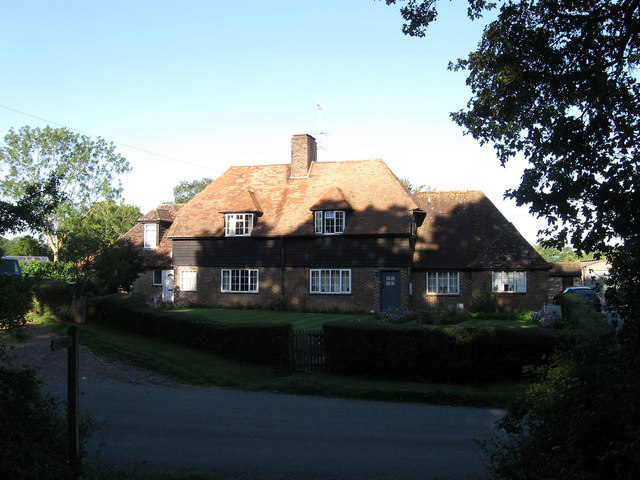
Image: © Simon Carey Taken: 30 Aug 2010
Located in the small hamlet of Kent Street next to the junction with Buckhatch Lane. The farmhouse seems to have been subdivided as the left hand side is now called Keeper's Cottage.
Images are licensed for reuse under creativecommons.org/licenses/by-sa/2.0
Image Location
Latitude
50.977915
Longitude
-0.250729