Farmland east of Muthill
Introduction
The photograph on this page of Farmland east of Muthill by Andrew Smith as part of the Geograph project.
The Geograph project started in 2005 with the aim of publishing, organising and preserving representative images for every square kilometre of Great Britain, Ireland and the Isle of Man.

There are currently over 7.5m images from over 14,400 individuals and you can help contribute to the project by visiting https://www.geograph.org.uk
Farmland east of Muthill
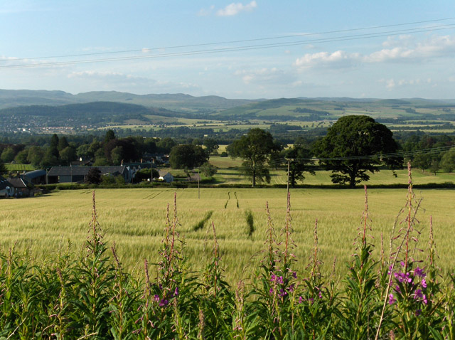
Image: © Andrew Smith Taken: 14 Jul 2006
Looking down from near Muir of Spot Wood. Lintibert is below, just beyond the A822 which is marked by the line of trees.
Images are licensed for reuse under creativecommons.org/licenses/by-sa/2.0
Image Location
Latitude
56.325585
Longitude
-3.827266