All boarded up
Introduction
The photograph on this page of All boarded up by Bill Nicholls as part of the Geograph project.
The Geograph project started in 2005 with the aim of publishing, organising and preserving representative images for every square kilometre of Great Britain, Ireland and the Isle of Man.

There are currently over 7.5m images from over 14,400 individuals and you can help contribute to the project by visiting https://www.geograph.org.uk
All boarded up
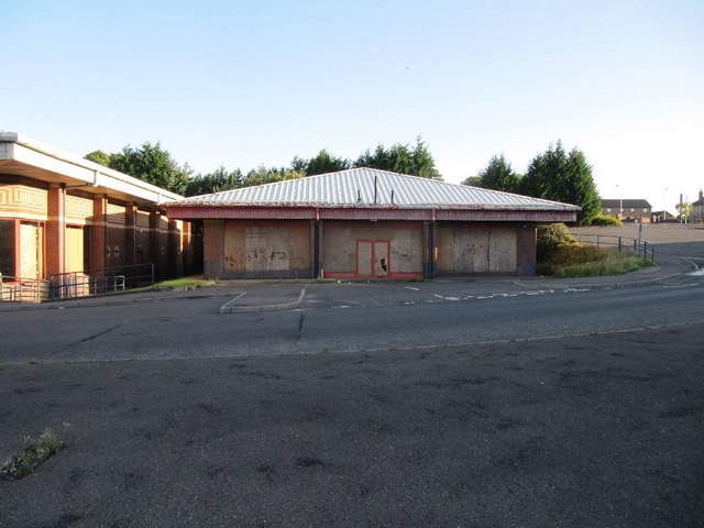
Image: © Bill Nicholls Taken: 29 Aug 2010
No clue as to what this place was that is boarded up on the Stack estate.
Images are licensed for reuse under creativecommons.org/licenses/by-sa/2.0
Image Location
Latitude
56.473623
Longitude
-3.004466