A40 at Weirend
Introduction
The photograph on this page of A40 at Weirend by J Whatley as part of the Geograph project.
The Geograph project started in 2005 with the aim of publishing, organising and preserving representative images for every square kilometre of Great Britain, Ireland and the Isle of Man.

There are currently over 7.5m images from over 14,400 individuals and you can help contribute to the project by visiting https://www.geograph.org.uk
A40 at Weirend
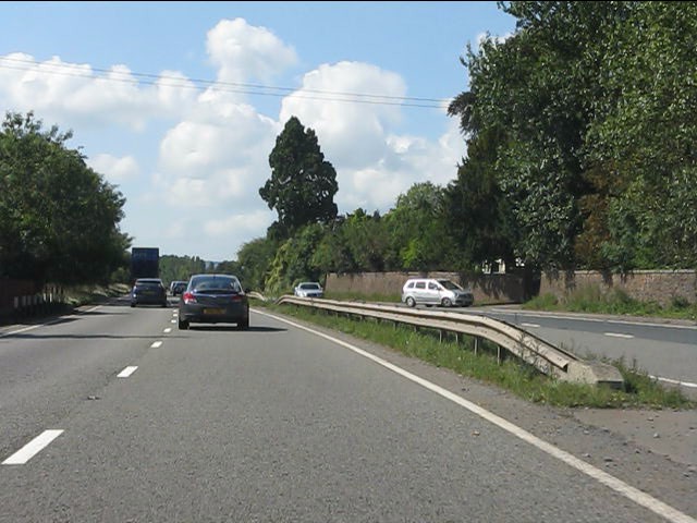
Image: © J Whatley Taken: 31 Aug 2010
Note the early dual carriageway construction with frequent gaps for access to frontage properties. The Armco barriers are a much later addition.
Images are licensed for reuse under creativecommons.org/licenses/by-sa/2.0
Image Location
Latitude
51.909849
Longitude
-2.618066