Canal approaching Diglis Basin, Worcester
Introduction
The photograph on this page of Canal approaching Diglis Basin, Worcester by Roger D Kidd as part of the Geograph project.
The Geograph project started in 2005 with the aim of publishing, organising and preserving representative images for every square kilometre of Great Britain, Ireland and the Isle of Man.

There are currently over 7.5m images from over 14,400 individuals and you can help contribute to the project by visiting https://www.geograph.org.uk
Canal approaching Diglis Basin, Worcester
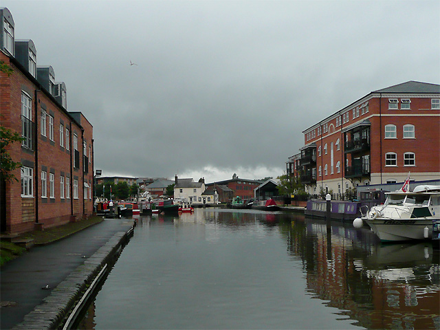
Image: © Roger D Kidd Taken: 21 Aug 2010
The Worcester and Birmingham Canal descends from Diglis Basin to the River Severn by means of two 18ft wide locks, which also fall eighteen feet (5.5 metres) to normal river level.
Images are licensed for reuse under creativecommons.org/licenses/by-sa/2.0
Image Location
Latitude
52.184042
Longitude
-2.220225