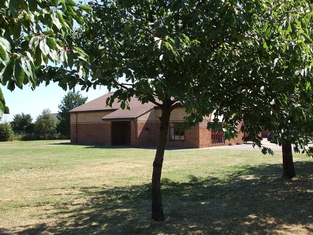
Chalgrave Memorial Hall, Tebworth
Introduction
The photograph on this page of Chalgrave Memorial Hall, Tebworth by Rob Farrow as part of the Geograph project.
The Geograph project started in 2005 with the aim of publishing, organising and preserving representative images for every square kilometre of Great Britain, Ireland and the Isle of Man.
There are currently over 7.5m images from over 14,400 individuals and you can help contribute to the project by visiting https://www.geograph.org.uk

Image: © Rob Farrow Taken: 18 Jul 2006
I'm not sure why this village hall is named after Chalgrave when it is situated in the village of Tebworth on the lane to Wingfield ! It looks to be quite a new construction, so perhaps it replaced an earlier hall near to Chalgrave itself (see Image]) [Edit - extra information from "sarah"] There never was a Chalgrave village proper; it's the parish name. The settlement/church known as Chalgrave was Saxon East Coton, and became known as Chalgrave for the Manor adjacent to it (which eventually gave its name to the parish). The Memorial Hall is probably named for the Parish, not the village. There'll shortly be a Chalgrave Heritage Trail and set of information boards that (I hope) will explain this and more.

