Trinity Hall Farmhouse
Introduction
The photograph on this page of Trinity Hall Farmhouse by Rob Farrow as part of the Geograph project.
The Geograph project started in 2005 with the aim of publishing, organising and preserving representative images for every square kilometre of Great Britain, Ireland and the Isle of Man.

There are currently over 7.5m images from over 14,400 individuals and you can help contribute to the project by visiting https://www.geograph.org.uk
Trinity Hall Farmhouse
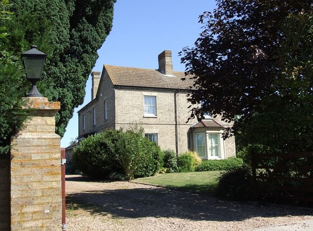
Image: © Rob Farrow Taken: 18 Jul 2006
Large black gates bar the way to the main part of the working farm at Trinity Hall, but the farmhouse can be seen here. It is up its own short drive off the busy A5 Watling Street.
Images are licensed for reuse under creativecommons.org/licenses/by-sa/2.0
Image Location
Latitude
51.918389
Longitude
-0.566306