The top of Bottoms
Introduction
The photograph on this page of The top of Bottoms by Stephen Craven as part of the Geograph project.
The Geograph project started in 2005 with the aim of publishing, organising and preserving representative images for every square kilometre of Great Britain, Ireland and the Isle of Man.

There are currently over 7.5m images from over 14,400 individuals and you can help contribute to the project by visiting https://www.geograph.org.uk
The top of Bottoms
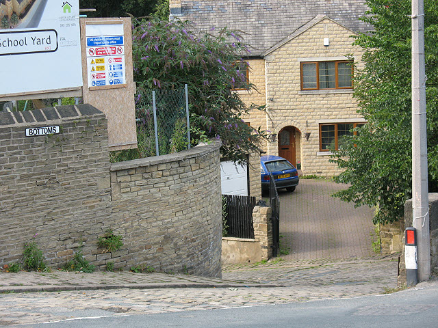
Image: © Stephen Craven Taken: 28 Aug 2010
"Bottoms" is a steep cobbled street leading from Siddal down to the Hebble Brook. See also Image The hoarding to the left bearing the name "School Yard" refers to an adjacent housing development on the site of the former village primary school.
Images are licensed for reuse under creativecommons.org/licenses/by-sa/2.0
Image Location
Latitude
53.704954
Longitude
-1.848783