View of southeast London and Kent from Altitude 360
Introduction
The photograph on this page of View of southeast London and Kent from Altitude 360 by Robert Lamb as part of the Geograph project.
The Geograph project started in 2005 with the aim of publishing, organising and preserving representative images for every square kilometre of Great Britain, Ireland and the Isle of Man.

There are currently over 7.5m images from over 14,400 individuals and you can help contribute to the project by visiting https://www.geograph.org.uk
View of southeast London and Kent from Altitude 360
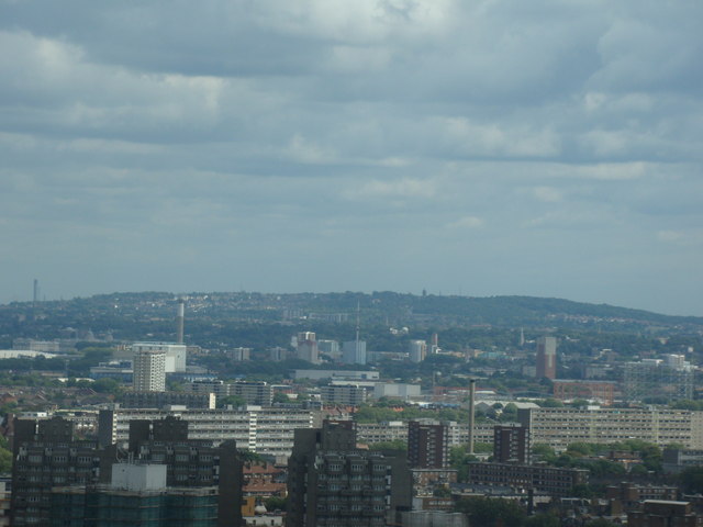
Image: © Robert Lamb Taken: 29 Aug 2010
Taken whilst attending a London Photo Walk, this is a view of southeast London and Kent taken from the viewing gallery of Altitude 360 on the top floor of the Millbank Tower looking northeast. I'm pretty sure that the chimney that can just be seen on the horizon at the extreme left of the image is the one belonging to Littlebrook Power Station in Dartford, featured in Image
Images are licensed for reuse under creativecommons.org/licenses/by-sa/2.0
Image Location
Latitude
51.490642
Longitude
-0.11464