Crossroads at Thorndon, Suffolk
Introduction
The photograph on this page of Crossroads at Thorndon, Suffolk by Adrian S Pye as part of the Geograph project.
The Geograph project started in 2005 with the aim of publishing, organising and preserving representative images for every square kilometre of Great Britain, Ireland and the Isle of Man.

There are currently over 7.5m images from over 14,400 individuals and you can help contribute to the project by visiting https://www.geograph.org.uk
Crossroads at Thorndon, Suffolk
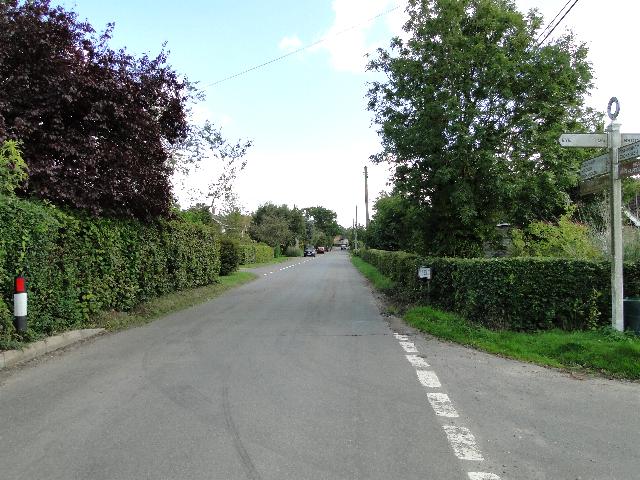
Image: © Adrian S Pye Taken: 30 Aug 2010
Looking Stoke Road towards the church. The crossroads is in the centre of Thorndon. Clint Road is to the left and Thwaite Road is to the right.
Images are licensed for reuse under creativecommons.org/licenses/by-sa/2.0
Image Location
Latitude
52.286673
Longitude
1.12769