2010 : Rushmead Lane heading west
Introduction
The photograph on this page of 2010 : Rushmead Lane heading west by Maurice Pullin as part of the Geograph project.
The Geograph project started in 2005 with the aim of publishing, organising and preserving representative images for every square kilometre of Great Britain, Ireland and the Isle of Man.

There are currently over 7.5m images from over 14,400 individuals and you can help contribute to the project by visiting https://www.geograph.org.uk
2010 : Rushmead Lane heading west
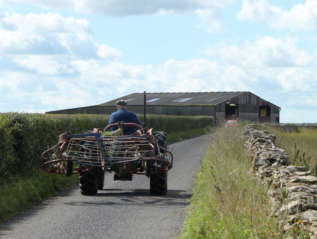
Image: © Maurice Pullin Taken: 28 Aug 2010
Tractor with farm implement crossing the south east corner of the grid square. Looks like one of those things used for raking straw or hay into heaps.
Images are licensed for reuse under creativecommons.org/licenses/by-sa/2.0
Image Location
Latitude
51.474043
Longitude
-2.318248