Ring Road Churches
Introduction
The photograph on this page of Ring Road Churches by Gordon Griffiths as part of the Geograph project.
The Geograph project started in 2005 with the aim of publishing, organising and preserving representative images for every square kilometre of Great Britain, Ireland and the Isle of Man.

There are currently over 7.5m images from over 14,400 individuals and you can help contribute to the project by visiting https://www.geograph.org.uk
Ring Road Churches
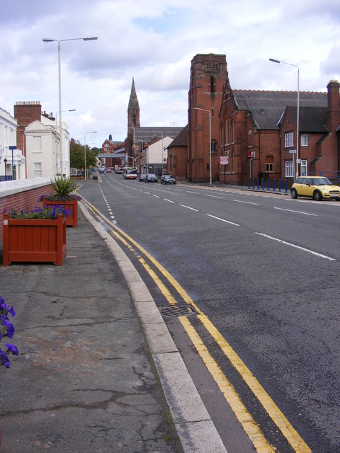
Image: © Gordon Griffiths Taken: 28 Aug 2010
The view up New Road, Stourbridge of the Methodist Church and the Spire of Our Lady and All Saints Roman Catholic Church.
Images are licensed for reuse under creativecommons.org/licenses/by-sa/2.0
Image Location
Latitude
52.45467
Longitude
-2.147996