Arable edge
Introduction
The photograph on this page of Arable edge by Jonathan Billinger as part of the Geograph project.
The Geograph project started in 2005 with the aim of publishing, organising and preserving representative images for every square kilometre of Great Britain, Ireland and the Isle of Man.

There are currently over 7.5m images from over 14,400 individuals and you can help contribute to the project by visiting https://www.geograph.org.uk
Arable edge
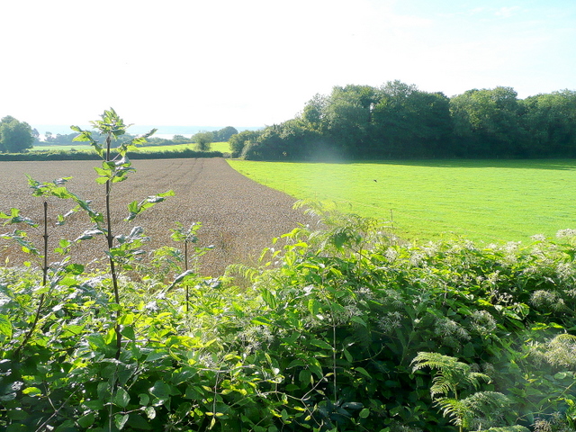
Image: © Jonathan Billinger Taken: 27 Aug 2010
Arable and pastoral rub shoulders south of the B4228 at Boughspring.
Images are licensed for reuse under creativecommons.org/licenses/by-sa/2.0
Image Location
Latitude
51.669307
Longitude
-2.65643