Vineyard, Middle Brow
Introduction
The photograph on this page of Vineyard, Middle Brow by Robin Webster as part of the Geograph project.
The Geograph project started in 2005 with the aim of publishing, organising and preserving representative images for every square kilometre of Great Britain, Ireland and the Isle of Man.

There are currently over 7.5m images from over 14,400 individuals and you can help contribute to the project by visiting https://www.geograph.org.uk
Vineyard, Middle Brow
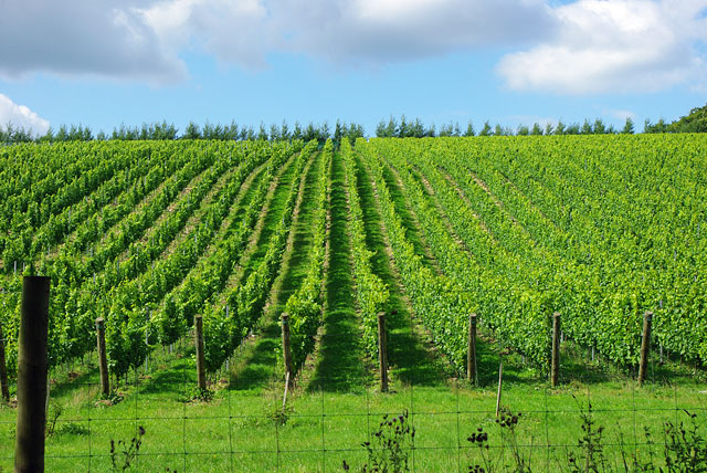
Image: © Robin Webster Taken: 30 Aug 2010
Or possibly Buddington Bottom - the top is the Brow, the bottom, unsurprisingly, is the Bottom.
Images are licensed for reuse under creativecommons.org/licenses/by-sa/2.0
Image Location
Latitude
50.881658
Longitude
-0.392514