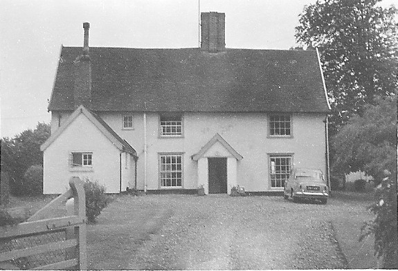
Moat Farm, Barking Tye in 1964
Introduction
The photograph on this page of Moat Farm, Barking Tye in 1964 by John Baker as part of the Geograph project.
The Geograph project started in 2005 with the aim of publishing, organising and preserving representative images for every square kilometre of Great Britain, Ireland and the Isle of Man.
There are currently over 7.5m images from over 14,400 individuals and you can help contribute to the project by visiting https://www.geograph.org.uk

Image: © John Baker Taken: 14 Jun 1964
The house is moated with the moat along the left hand side of the house (as viewed) and at the back. We were visiting relatives (who still live here) for the day from our house in Berkhamsted. My father's Rover 100 is standing outside the house. It would be considered a classic car nowadays but when he came to sell it in 1967 no private buyer was interested so he had to sell it to a garage.
Image Location


