Crooked Billet, Iver Heath
Introduction
The photograph on this page of Crooked Billet, Iver Heath by David Hawgood as part of the Geograph project.
The Geograph project started in 2005 with the aim of publishing, organising and preserving representative images for every square kilometre of Great Britain, Ireland and the Isle of Man.

There are currently over 7.5m images from over 14,400 individuals and you can help contribute to the project by visiting https://www.geograph.org.uk
Crooked Billet, Iver Heath
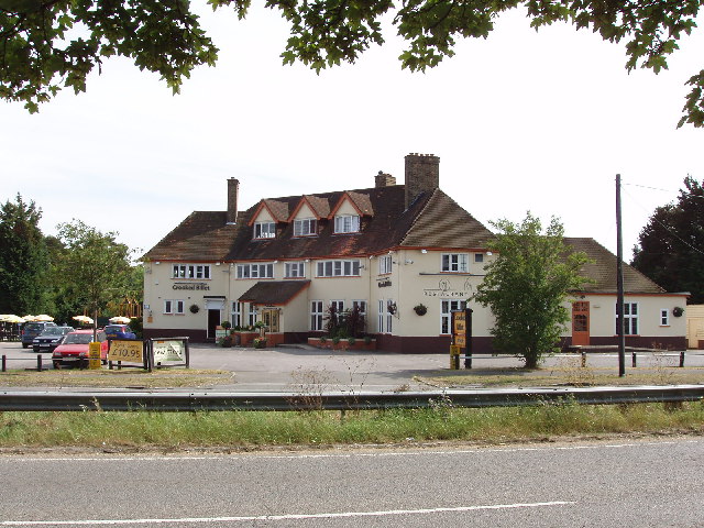
Image: © David Hawgood Taken: 20 Jun 2005
This public house also gives its name to the Crooked Billet Roundabout between Slough and Uxbridge
Images are licensed for reuse under creativecommons.org/licenses/by-sa/2.0
Image Location
Latitude
51.535799
Longitude
-0.530777