Homestead Road
Introduction
The photograph on this page of Homestead Road by Richard Dorrell as part of the Geograph project.
The Geograph project started in 2005 with the aim of publishing, organising and preserving representative images for every square kilometre of Great Britain, Ireland and the Isle of Man.

There are currently over 7.5m images from over 14,400 individuals and you can help contribute to the project by visiting https://www.geograph.org.uk
Homestead Road
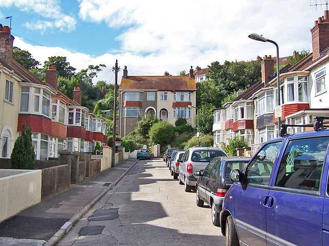
Image: © Richard Dorrell Taken: 29 Aug 2010
A short cul-de-sac of terraced houses off Chatto Road. It was the very tall pair of houses at the end of the road which caught my eye. The slope on which they are built means that their ground floor windows are well above the level of the first floor windows of the houses immediately in front.
Images are licensed for reuse under creativecommons.org/licenses/by-sa/2.0
Image Location
Latitude
50.479584
Longitude
-3.531966