Alma House near Wiboft
Introduction
The photograph on this page of Alma House near Wiboft by Jonathan Thacker as part of the Geograph project.
The Geograph project started in 2005 with the aim of publishing, organising and preserving representative images for every square kilometre of Great Britain, Ireland and the Isle of Man.

There are currently over 7.5m images from over 14,400 individuals and you can help contribute to the project by visiting https://www.geograph.org.uk
Alma House near Wiboft
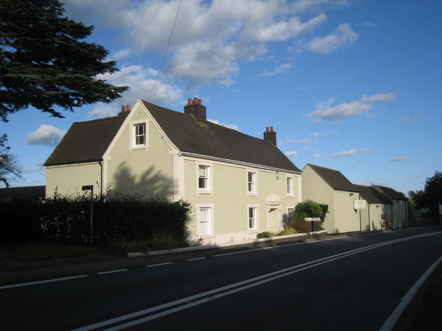
Image: © Jonathan Thacker Taken: 29 Aug 2010
Although only separated by Watling Street from Wibtoft in Warwickshire, Alma House is in the parish of Claybrooke Parva in Leicestershire.
Images are licensed for reuse under creativecommons.org/licenses/by-sa/2.0
Image Location
Latitude
52.484747
Longitude
-1.292972