Monreith Estate
Introduction
The photograph on this page of Monreith Estate by Andy Farrington as part of the Geograph project.
The Geograph project started in 2005 with the aim of publishing, organising and preserving representative images for every square kilometre of Great Britain, Ireland and the Isle of Man.

There are currently over 7.5m images from over 14,400 individuals and you can help contribute to the project by visiting https://www.geograph.org.uk
Monreith Estate
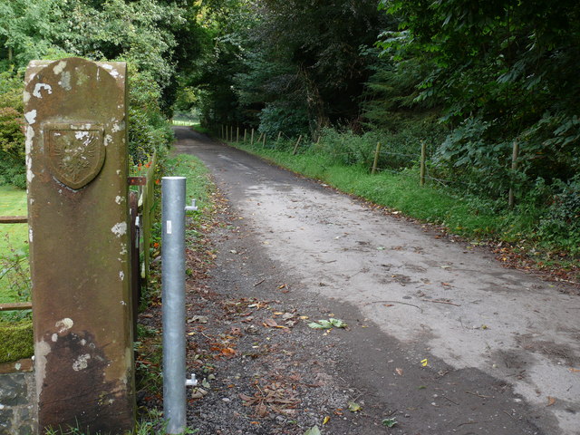
Image: © Andy Farrington Taken: 28 Aug 2010
Entrance road to the estate with new and old gate posts. The Maxwell Coat of Arms appears on the stone post and South Lodge Cottage is left of this road out of shot.
Images are licensed for reuse under creativecommons.org/licenses/by-sa/2.0
Image Location
Latitude
54.754121
Longitude
-4.566248