Flush bracket S0337 on Holyhead Road, Bangor
Introduction
The photograph on this page of Flush bracket S0337 on Holyhead Road, Bangor by Meirion as part of the Geograph project.
The Geograph project started in 2005 with the aim of publishing, organising and preserving representative images for every square kilometre of Great Britain, Ireland and the Isle of Man.

There are currently over 7.5m images from over 14,400 individuals and you can help contribute to the project by visiting https://www.geograph.org.uk
Flush bracket S0337 on Holyhead Road, Bangor
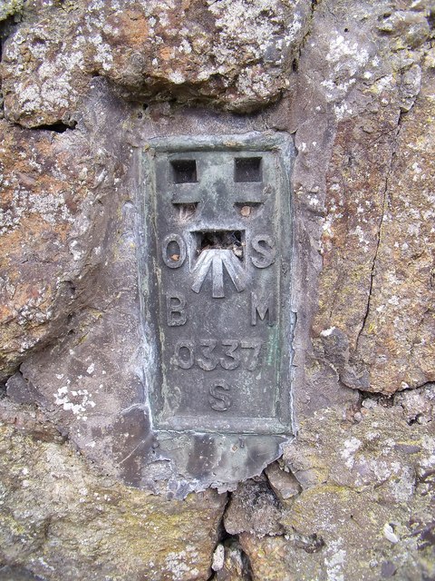
Image: © Meirion Taken: 25 Aug 2010
This flush bracket is located at a wall junction on Holyhead Road in Upper Bangor and is shown in the Ordnance Survey database as being 52.3440m above the Newlyn datum.
Images are licensed for reuse under creativecommons.org/licenses/by-sa/2.0
Image Location
Latitude
53.228061
Longitude
-4.139464