Hadrian's Cycleway, Tyne Riverside Park, Prudhoe
Introduction
The photograph on this page of Hadrian's Cycleway, Tyne Riverside Park, Prudhoe by Andrew Curtis as part of the Geograph project.
The Geograph project started in 2005 with the aim of publishing, organising and preserving representative images for every square kilometre of Great Britain, Ireland and the Isle of Man.

There are currently over 7.5m images from over 14,400 individuals and you can help contribute to the project by visiting https://www.geograph.org.uk
Hadrian's Cycleway, Tyne Riverside Park, Prudhoe
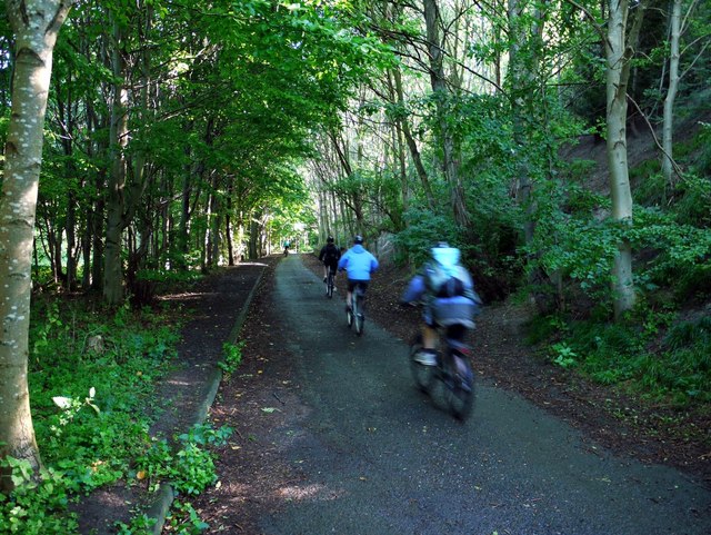
Image: © Andrew Curtis Taken: 29 Aug 2010
A popular off-road section, between Ovingham Bridge and Wylam, of the long distance cycle route 72. The wooded slope of the Spetchells is on the right.
Images are licensed for reuse under creativecommons.org/licenses/by-sa/2.0
Image Location
Latitude
54.969818
Longitude
-1.858135