Western edge of Lewis Street, Ystrad Mynach
Introduction
The photograph on this page of Western edge of Lewis Street, Ystrad Mynach by Jaggery as part of the Geograph project.
The Geograph project started in 2005 with the aim of publishing, organising and preserving representative images for every square kilometre of Great Britain, Ireland and the Isle of Man.

There are currently over 7.5m images from over 14,400 individuals and you can help contribute to the project by visiting https://www.geograph.org.uk
Western edge of Lewis Street, Ystrad Mynach
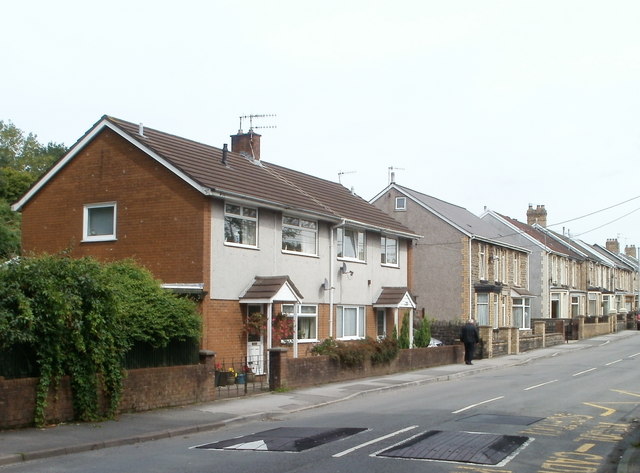
Image: © Jaggery Taken: 27 Aug 2010
Houses on the north side of Lewis Street, viewed from the corner of the A472, in this area named Nelson Road. The speed bumps are near the main entrance of Ystrad Mynach Primary School. http://www.geograph.org.uk/photo/2038376
Images are licensed for reuse under creativecommons.org/licenses/by-sa/2.0
Image Location
Latitude
51.641847
Longitude
-3.239875