Ystrad Mynach Primary School
Introduction
The photograph on this page of Ystrad Mynach Primary School by Jaggery as part of the Geograph project.
The Geograph project started in 2005 with the aim of publishing, organising and preserving representative images for every square kilometre of Great Britain, Ireland and the Isle of Man.

There are currently over 7.5m images from over 14,400 individuals and you can help contribute to the project by visiting https://www.geograph.org.uk
Ystrad Mynach Primary School
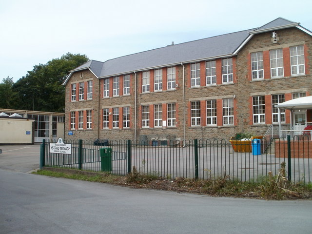
Image: © Jaggery Taken: 27 Aug 2010
The school occupies a site bordered by Lisburn Road, Lewis Street and the A472. This view is of the western side of the school. The school, now with about 400 pupils enrolled, has been on this site for a century, with the buildings and grounds updated periodically. The current name dates from 2006, on the amalgamation of Ystrad Mynach Junior School and Ystrad Mynach Infants' School.
Images are licensed for reuse under creativecommons.org/licenses/by-sa/2.0
Image Location
Latitude
51.640948
Longitude
-3.239851