Tinker's Leen
Introduction
The photograph on this page of Tinker's Leen by John Sutton as part of the Geograph project.
The Geograph project started in 2005 with the aim of publishing, organising and preserving representative images for every square kilometre of Great Britain, Ireland and the Isle of Man.

There are currently over 7.5m images from over 14,400 individuals and you can help contribute to the project by visiting https://www.geograph.org.uk
Tinker's Leen
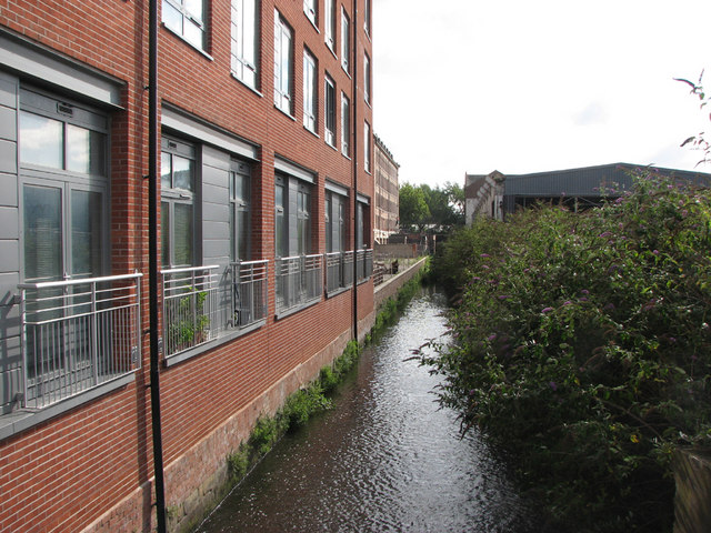
Image: © John Sutton Taken: 24 Aug 2010
This is a flood-relief channel. The Hicking Pentecost factory, now 275 flats, is on the left and London Road in the distance.
Images are licensed for reuse under creativecommons.org/licenses/by-sa/2.0
Image Location
Latitude
52.945826
Longitude
-1.141718