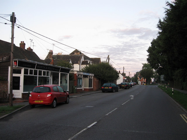
Station Road
Introduction
The photograph on this page of Station Road by Simon Carey as part of the Geograph project.
The Geograph project started in 2005 with the aim of publishing, organising and preserving representative images for every square kilometre of Great Britain, Ireland and the Isle of Man.
There are currently over 7.5m images from over 14,400 individuals and you can help contribute to the project by visiting https://www.geograph.org.uk

Image: © Simon Carey Taken: 28 Aug 2010
The A272 as it heads west out of Cowfold. Originally the road was a minor lane that lead to Brownings Farm and no further but was turnpiked as an east-west through route in 1825 becoming Station Road when West Grinstead station was built a couple of miles down the road that opened in 1861 and closed in 1966. Cowfold still retains a number of services with a barbers and beauty saloon on the left, the former once being the village Post Office before that moved to Bolney Road. The other notable point is that the other houses on the left actually front onto the church with their rears facing the main road.

