Walking the Howardian Hills and beyond #62
Introduction
The photograph on this page of Walking the Howardian Hills and beyond #62 by Ian S as part of the Geograph project.
The Geograph project started in 2005 with the aim of publishing, organising and preserving representative images for every square kilometre of Great Britain, Ireland and the Isle of Man.

There are currently over 7.5m images from over 14,400 individuals and you can help contribute to the project by visiting https://www.geograph.org.uk
Walking the Howardian Hills and beyond #62
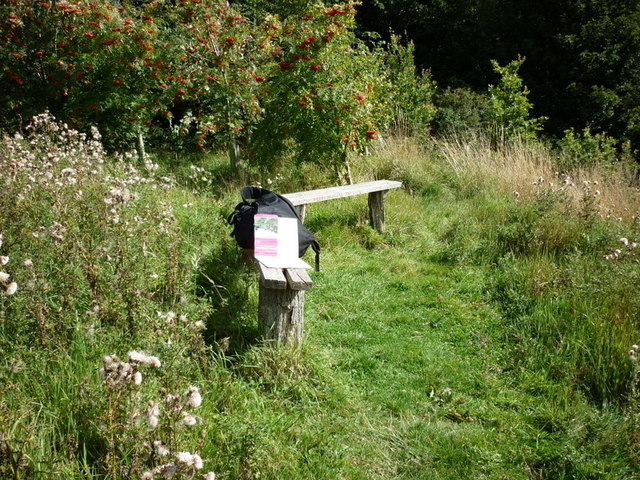
Image: © Ian S Taken: 28 Aug 2010
After 21/2 hours of walking and 19 new squares (I hope) it's time for a sit down and take in the view.
Images are licensed for reuse under creativecommons.org/licenses/by-sa/2.0
Image Location
Latitude
54.134004
Longitude
-0.875989