Hairpin Bend
Introduction
The photograph on this page of Hairpin Bend by Tony Atkin as part of the Geograph project.
The Geograph project started in 2005 with the aim of publishing, organising and preserving representative images for every square kilometre of Great Britain, Ireland and the Isle of Man.

There are currently over 7.5m images from over 14,400 individuals and you can help contribute to the project by visiting https://www.geograph.org.uk
Hairpin Bend
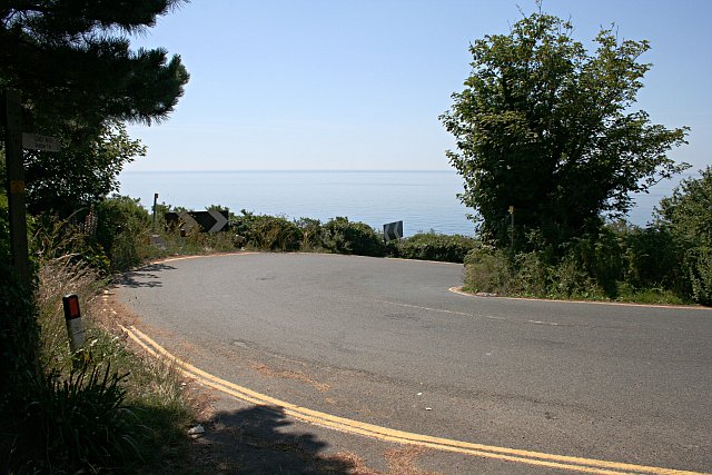
Image: © Tony Atkin Taken: 17 Jul 2006
Near the bottom of Tregunnus Lane the road doubles back on itself as it looses height rapidly before entering Downderry. This is not a place to come off the road, there is nothing but a cliff beyond the edge.
Images are licensed for reuse under creativecommons.org/licenses/by-sa/2.0
Image Location


Leaflet Map data © OpenStreetMap
Latitude
50.361026
Longitude
-4.360502