Doubledykes (ruin)
Introduction
The photograph on this page of Doubledykes (ruin) by Robert Murray as part of the Geograph project.
The Geograph project started in 2005 with the aim of publishing, organising and preserving representative images for every square kilometre of Great Britain, Ireland and the Isle of Man.

There are currently over 7.5m images from over 14,400 individuals and you can help contribute to the project by visiting https://www.geograph.org.uk
Doubledykes (ruin)
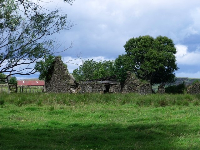
Image: © Robert Murray Taken: 28 Aug 2010
Another deserted and ruined farm so common in the Lowlands of Scotland. Doubledykes is depicted on the First Edition O.S. - Stirlingshire Sht. XXIII.14. - Just! because part of the north eastern end of the dwelling lies in the adjacent sheet just as it does today where it is in the next grid square.
Images are licensed for reuse under creativecommons.org/licenses/by-sa/2.0
Image Location
Latitude
56.023575
Longitude
-3.972152