Brookfield dam, Banbridge
Introduction
The photograph on this page of Brookfield dam, Banbridge by Albert Bridge as part of the Geograph project.
The Geograph project started in 2005 with the aim of publishing, organising and preserving representative images for every square kilometre of Great Britain, Ireland and the Isle of Man.

There are currently over 7.5m images from over 14,400 individuals and you can help contribute to the project by visiting https://www.geograph.org.uk
Brookfield dam, Banbridge
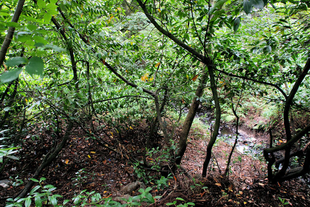
Image: © Albert Bridge Taken: 28 Aug 2010
Cheating because not only is the dam dry (it was drying 45 years ago) but it’s not accessible through the thick vegetation. This is its feeder stream seen from here Image
Images are licensed for reuse under creativecommons.org/licenses/by-sa/2.0
Image Location
Latitude
54.351786
Longitude
-6.287296