River Sowe Stafford
Introduction
The photograph on this page of River Sowe Stafford by Rick Crowley as part of the Geograph project.
The Geograph project started in 2005 with the aim of publishing, organising and preserving representative images for every square kilometre of Great Britain, Ireland and the Isle of Man.

There are currently over 7.5m images from over 14,400 individuals and you can help contribute to the project by visiting https://www.geograph.org.uk
River Sowe Stafford
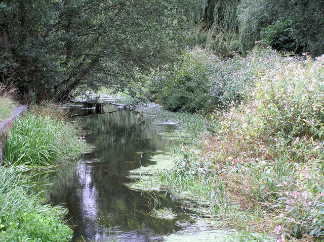
Image: © Rick Crowley Taken: 18 Aug 2010
This cut made in 1814 runs from the present day Fairway bridge to this point, by Asda.
Images are licensed for reuse under creativecommons.org/licenses/by-sa/2.0
Image Location
Latitude
52.803602
Longitude
-2.111207