Rural Fringe of Brigg
Introduction
The photograph on this page of Rural Fringe of Brigg by David Wright as part of the Geograph project.
The Geograph project started in 2005 with the aim of publishing, organising and preserving representative images for every square kilometre of Great Britain, Ireland and the Isle of Man.

There are currently over 7.5m images from over 14,400 individuals and you can help contribute to the project by visiting https://www.geograph.org.uk
Rural Fringe of Brigg
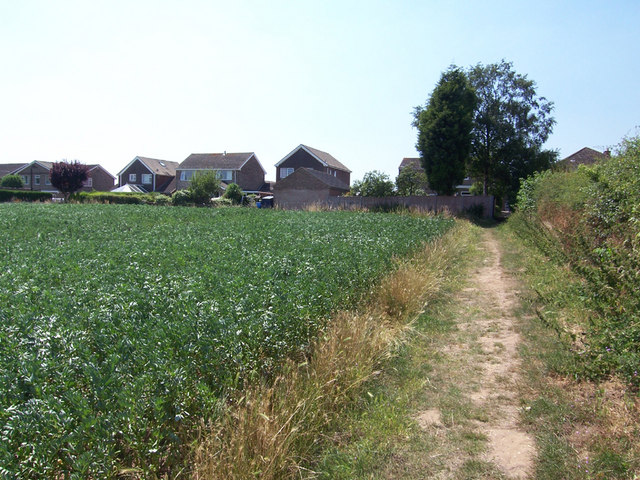
Image: © David Wright Taken: 17 Jul 2006
This picture was taken from the public footpath which runs from the end of St. Helen's Road to Kettleby Lane. The houses are on the eastern side of Churchill Avenue and the field is a prime prospect as building land if Brigg expands to the East.
Images are licensed for reuse under creativecommons.org/licenses/by-sa/2.0
Image Location
Latitude
53.552575
Longitude
-0.473171