St Cleer: Gonamena
Introduction
The photograph on this page of St Cleer: Gonamena by Martin Bodman as part of the Geograph project.
The Geograph project started in 2005 with the aim of publishing, organising and preserving representative images for every square kilometre of Great Britain, Ireland and the Isle of Man.

There are currently over 7.5m images from over 14,400 individuals and you can help contribute to the project by visiting https://www.geograph.org.uk
St Cleer: Gonamena
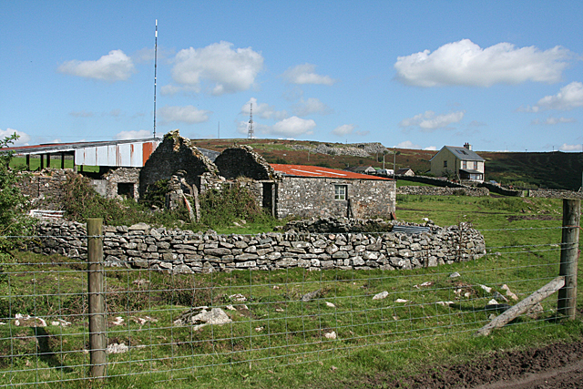
Image: © Martin Bodman Taken: 27 Aug 2010
Farm buildings below Caradon Hill and its television mast. Seen from the original course of the Liskeard & Caradon Railway. In St Cleer parish
Images are licensed for reuse under creativecommons.org/licenses/by-sa/2.0
Image Location


Leaflet Map data © OpenStreetMap
Latitude
50.50843
Longitude
-4.452617