Meadow near Grisedale Bridge
Introduction
The photograph on this page of Meadow near Grisedale Bridge by Derek Harper as part of the Geograph project.
The Geograph project started in 2005 with the aim of publishing, organising and preserving representative images for every square kilometre of Great Britain, Ireland and the Isle of Man.

There are currently over 7.5m images from over 14,400 individuals and you can help contribute to the project by visiting https://www.geograph.org.uk
Meadow near Grisedale Bridge
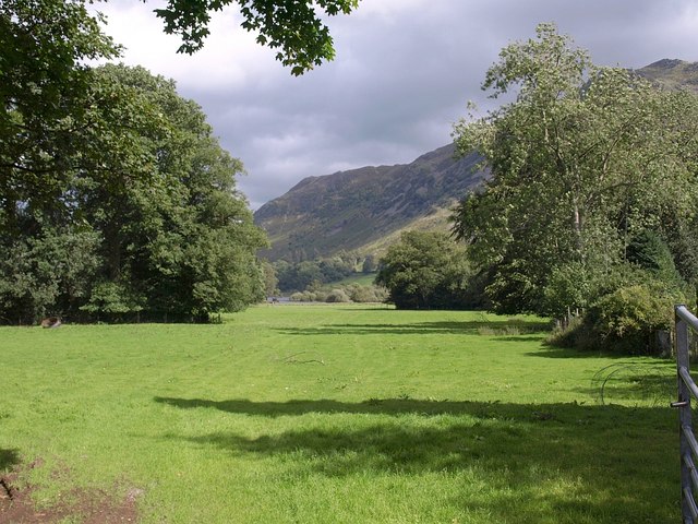
Image: © Derek Harper Taken: 21 Aug 2010
A view from the A591 across a meadow at the head of Ullswater; the lake can be glimpsed left of centre.
Images are licensed for reuse under creativecommons.org/licenses/by-sa/2.0
Image Location
Latitude
54.538275
Longitude
-2.944297