Pastures and woodland west of Dodd Bank (4)
Introduction
The photograph on this page of Pastures and woodland west of Dodd Bank (4) by Mike Quinn as part of the Geograph project.
The Geograph project started in 2005 with the aim of publishing, organising and preserving representative images for every square kilometre of Great Britain, Ireland and the Isle of Man.

There are currently over 7.5m images from over 14,400 individuals and you can help contribute to the project by visiting https://www.geograph.org.uk
Pastures and woodland west of Dodd Bank (4)
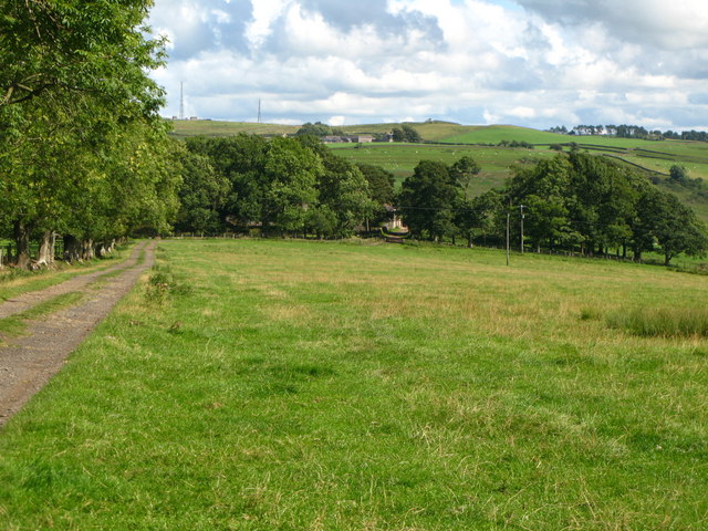
Image: © Mike Quinn Taken: 18 Aug 2010
Above the horizon (left) are the masts at Image (photo by Marcus Byron).
Images are licensed for reuse under creativecommons.org/licenses/by-sa/2.0
Image Location
Latitude
54.929913
Longitude
-2.329548