2010 : South from a footpath near Chelwood
Introduction
The photograph on this page of 2010 : South from a footpath near Chelwood by Maurice Pullin as part of the Geograph project.
The Geograph project started in 2005 with the aim of publishing, organising and preserving representative images for every square kilometre of Great Britain, Ireland and the Isle of Man.

There are currently over 7.5m images from over 14,400 individuals and you can help contribute to the project by visiting https://www.geograph.org.uk
2010 : South from a footpath near Chelwood
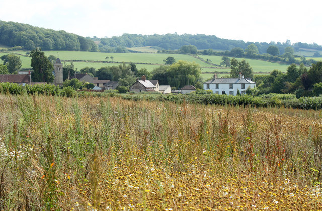
Image: © Maurice Pullin Taken: 16 Aug 2010
Same field, same crop, same camera position as Image] turned to the left a little to include more of the village and the parish church. Docks and dandelions predominate but the crop was broad beans grown as green manure.
Images are licensed for reuse under creativecommons.org/licenses/by-sa/2.0
Image Location


Leaflet Map data © OpenStreetMap
Latitude
51.356074
Longitude
-2.524989