Eastern end of The Avenue, Ystrad Mynach
Introduction
The photograph on this page of Eastern end of The Avenue, Ystrad Mynach by Jaggery as part of the Geograph project.
The Geograph project started in 2005 with the aim of publishing, organising and preserving representative images for every square kilometre of Great Britain, Ireland and the Isle of Man.

There are currently over 7.5m images from over 14,400 individuals and you can help contribute to the project by visiting https://www.geograph.org.uk
Eastern end of The Avenue, Ystrad Mynach
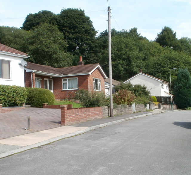
Image: © Jaggery Taken: 27 Aug 2010
The Avenue ends at the edge of woodland. The western end is about 500 metres away, on the corner of Davies Street.
Images are licensed for reuse under creativecommons.org/licenses/by-sa/2.0
Image Location
Latitude
51.645579
Longitude
-3.226969