Roadside barn
Introduction
The photograph on this page of Roadside barn by Michael Dibb as part of the Geograph project.
The Geograph project started in 2005 with the aim of publishing, organising and preserving representative images for every square kilometre of Great Britain, Ireland and the Isle of Man.

There are currently over 7.5m images from over 14,400 individuals and you can help contribute to the project by visiting https://www.geograph.org.uk
Roadside barn
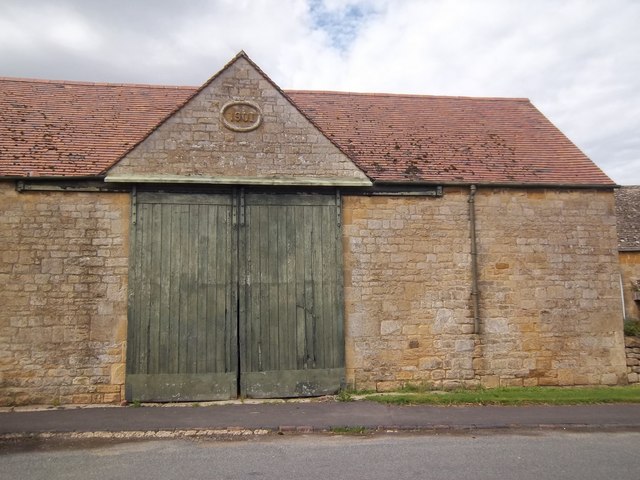
Image: © Michael Dibb Taken: 22 Aug 2010
This lovely barn, part of Middle Farm, is alongside the minor road and carries a datestone of 1901.
Images are licensed for reuse under creativecommons.org/licenses/by-sa/2.0
Image Location
Latitude
52.065339
Longitude
-1.815132