Winniequick Plantation
Introduction
The photograph on this page of Winniequick Plantation by James Bell as part of the Geograph project.
The Geograph project started in 2005 with the aim of publishing, organising and preserving representative images for every square kilometre of Great Britain, Ireland and the Isle of Man.

There are currently over 7.5m images from over 14,400 individuals and you can help contribute to the project by visiting https://www.geograph.org.uk
Winniequick Plantation
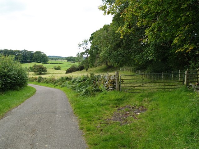
Image: © James Bell Taken: 27 Aug 2010
The woodland edge on right is Winniequick Plantation. Roadway leads down to Barnboard Mill Bridge.
Images are licensed for reuse under creativecommons.org/licenses/by-sa/2.0
Image Location
Latitude
54.935872
Longitude
-4.008945