Glastonbury and Street Railway Station
Introduction
The photograph on this page of Glastonbury and Street Railway Station by David Hillas as part of the Geograph project.
The Geograph project started in 2005 with the aim of publishing, organising and preserving representative images for every square kilometre of Great Britain, Ireland and the Isle of Man.

There are currently over 7.5m images from over 14,400 individuals and you can help contribute to the project by visiting https://www.geograph.org.uk
Glastonbury and Street Railway Station
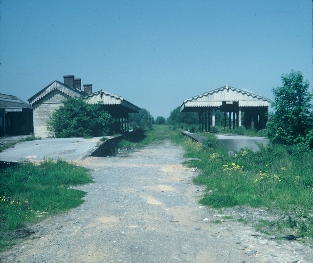
Image: © David Hillas Taken: 11 Jun 1979
Taken in June, 1979, this photo shows the remains of the station looking towards Highbridge on the Somerset & Dorset railway line which closed to passengers in March, 1966. The whole area is now occupied by an industrial estate, the postcode being BA6 9LU.
Images are licensed for reuse under creativecommons.org/licenses/by-sa/2.0
Image Location
Latitude
51.147441
Longitude
-2.729914