River Tavy at Harford Bridge campsite
Introduction
The photograph on this page of River Tavy at Harford Bridge campsite by Phil Williams as part of the Geograph project.
The Geograph project started in 2005 with the aim of publishing, organising and preserving representative images for every square kilometre of Great Britain, Ireland and the Isle of Man.

There are currently over 7.5m images from over 14,400 individuals and you can help contribute to the project by visiting https://www.geograph.org.uk
River Tavy at Harford Bridge campsite
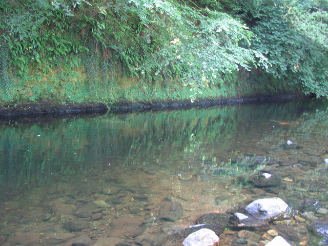
Image: © Phil Williams Taken: 16 Jul 2006
A view looking to the southeast from the camping area at Harford Bridge as the River Tavy encounters a cliff and makes a loop to the northwest.
Images are licensed for reuse under creativecommons.org/licenses/by-sa/2.0
Image Location


Leaflet Map data © OpenStreetMap
Latitude
50.568144
Longitude
-4.113818