Canterbury Golf Club house
Introduction
The photograph on this page of Canterbury Golf Club house by David Anstiss as part of the Geograph project.
The Geograph project started in 2005 with the aim of publishing, organising and preserving representative images for every square kilometre of Great Britain, Ireland and the Isle of Man.

There are currently over 7.5m images from over 14,400 individuals and you can help contribute to the project by visiting https://www.geograph.org.uk
Canterbury Golf Club house
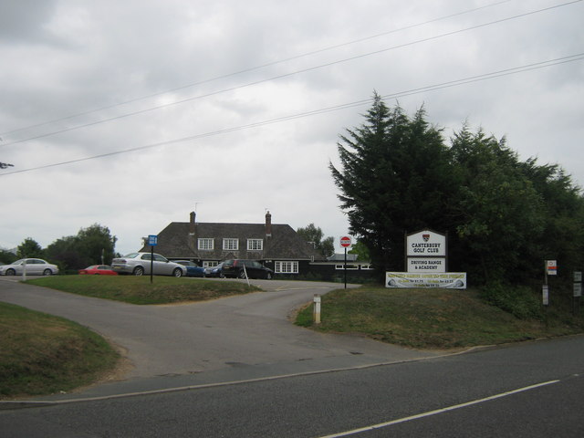
Image: © David Anstiss Taken: 15 Aug 2010
On the A257 Litlebourne Road, coming out of Canterbury towards Wingham.
Images are licensed for reuse under creativecommons.org/licenses/by-sa/2.0
Image Location
Latitude
51.278555
Longitude
1.112754