Lane at Capeston
Introduction
The photograph on this page of Lane at Capeston by Stephen McKay as part of the Geograph project.
The Geograph project started in 2005 with the aim of publishing, organising and preserving representative images for every square kilometre of Great Britain, Ireland and the Isle of Man.

There are currently over 7.5m images from over 14,400 individuals and you can help contribute to the project by visiting https://www.geograph.org.uk
Lane at Capeston
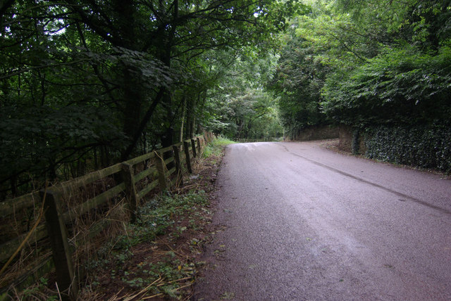
Image: © Stephen McKay Taken: 23 Aug 2010
Dull weather makes this lane as it winds through trees at Capeston seem very gloomy.
Images are licensed for reuse under creativecommons.org/licenses/by-sa/2.0
Image Location
Latitude
51.744643
Longitude
-5.095353