Gittens Close
Introduction
The photograph on this page of Gittens Close by Stephen Craven as part of the Geograph project.
The Geograph project started in 2005 with the aim of publishing, organising and preserving representative images for every square kilometre of Great Britain, Ireland and the Isle of Man.

There are currently over 7.5m images from over 14,400 individuals and you can help contribute to the project by visiting https://www.geograph.org.uk
Gittens Close
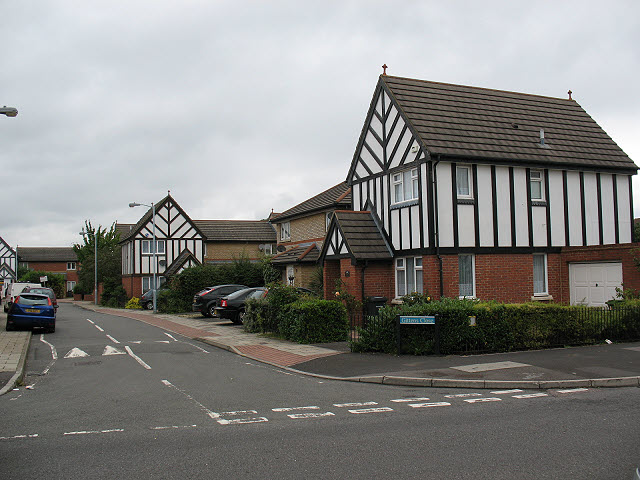
Image: © Stephen Craven Taken: 26 Aug 2010
This small development in an anachronism in two ways. The "mock tudor" half-timbering is obviously out of character with all the other housing in the area, and the houses look relatively new (1980s perhaps) whereas most of the housing in the whole area between Catford and Bromley was developed between the two world wars.
Images are licensed for reuse under creativecommons.org/licenses/by-sa/2.0
Image Location
Latitude
51.429067
Longitude
0.008411