The Northover triangle
Introduction
The photograph on this page of The Northover triangle by Stephen Craven as part of the Geograph project.
The Geograph project started in 2005 with the aim of publishing, organising and preserving representative images for every square kilometre of Great Britain, Ireland and the Isle of Man.

There are currently over 7.5m images from over 14,400 individuals and you can help contribute to the project by visiting https://www.geograph.org.uk
The Northover triangle
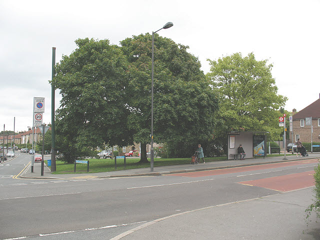
Image: © Stephen Craven Taken: 26 Aug 2010
A triangle of undeveloped land between Northover (foreground), Shroffold Road and Durham Hill forms a small "village green" with a few mature trees. Street furniture seen here includes a bus stop, sewer vent pipe and 20mph speed limit signs.
Images are licensed for reuse under creativecommons.org/licenses/by-sa/2.0
Image Location
Latitude
51.43045
Longitude
0.011637