Flush Bracket, Lisburn
Introduction
The photograph on this page of Flush Bracket, Lisburn by Rossographer as part of the Geograph project.
The Geograph project started in 2005 with the aim of publishing, organising and preserving representative images for every square kilometre of Great Britain, Ireland and the Isle of Man.

There are currently over 7.5m images from over 14,400 individuals and you can help contribute to the project by visiting https://www.geograph.org.uk
Flush Bracket, Lisburn
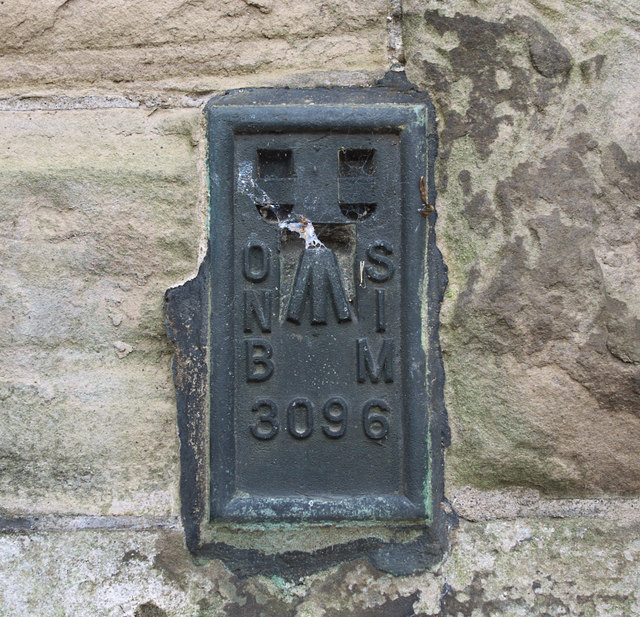
Image: © Rossographer Taken: 25 Aug 2010
Flush bracket located on the north-eastern side of St Patrick's RC Church, Chapel Hill, Lisburn Image The number on the bracket is OSNIBM 3096. The mark is 43.98 metres above MSL. A flush bracket is a type of bench mark set onto the face of a building. See also http://www.geograph.org.uk/search.php?i=11037856 for many other examples I have found.
Images are licensed for reuse under creativecommons.org/licenses/by-sa/2.0
Image Location
Latitude
54.51039
Longitude
-6.050547