Flats in Cadewell Lane
Introduction
The photograph on this page of Flats in Cadewell Lane by Richard Dorrell as part of the Geograph project.
The Geograph project started in 2005 with the aim of publishing, organising and preserving representative images for every square kilometre of Great Britain, Ireland and the Isle of Man.

There are currently over 7.5m images from over 14,400 individuals and you can help contribute to the project by visiting https://www.geograph.org.uk
Flats in Cadewell Lane
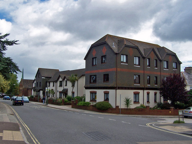
Image: © Richard Dorrell Taken: 24 Aug 2010
The small spire on the far left is on St John the Baptist Church. (See Image]). The road on the right is Banbury Park.
Images are licensed for reuse under creativecommons.org/licenses/by-sa/2.0
Image Location
Latitude
50.480005
Longitude
-3.561156