Bridge near the watercress beds
Introduction
The photograph on this page of Bridge near the watercress beds by David Anstiss as part of the Geograph project.
The Geograph project started in 2005 with the aim of publishing, organising and preserving representative images for every square kilometre of Great Britain, Ireland and the Isle of Man.

There are currently over 7.5m images from over 14,400 individuals and you can help contribute to the project by visiting https://www.geograph.org.uk
Bridge near the watercress beds
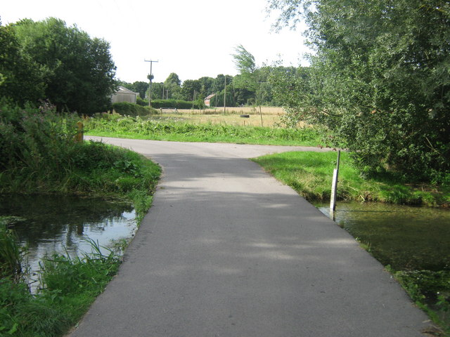
Image: © David Anstiss Taken: 15 Aug 2010
A farm track from Lower Garrington Farm towards Bekesbourne Lane. It passes over a stream on watercress beds near the river Nail Bourne.
Images are licensed for reuse under creativecommons.org/licenses/by-sa/2.0
Image Location
Latitude
51.265467
Longitude
1.154738